
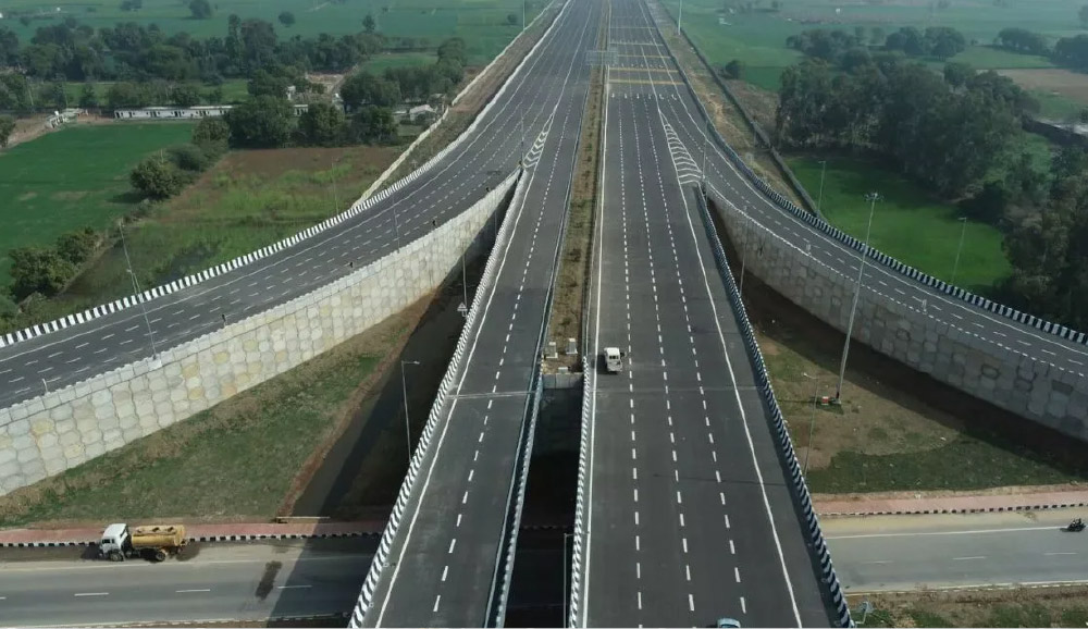
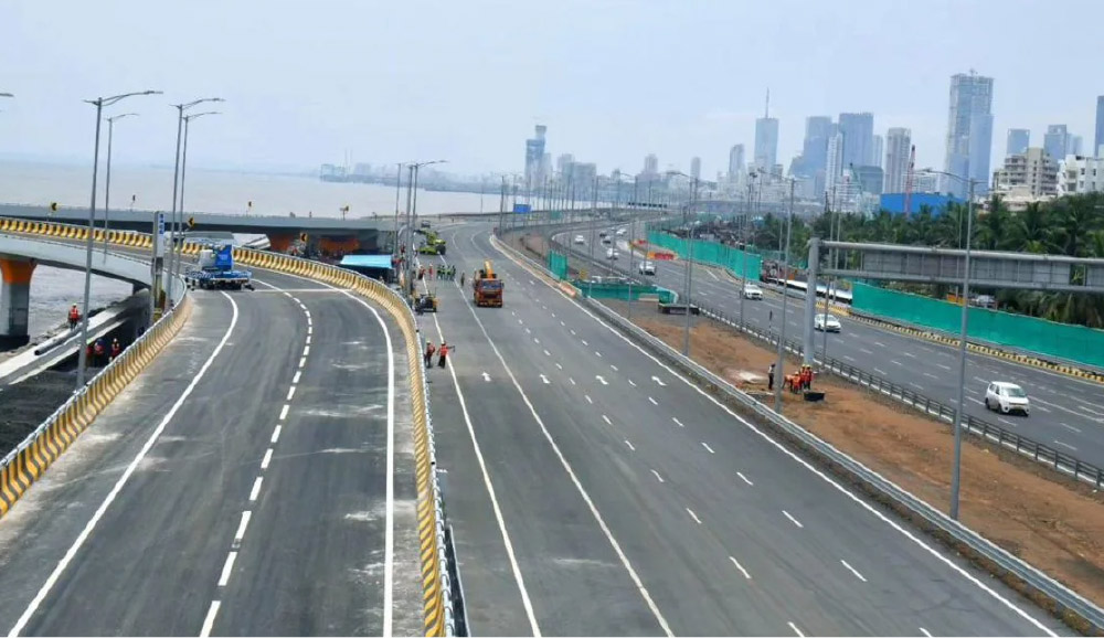
LAAYN's AI-powered road monitoring system transforms infrastructure management from subjective assessments to objective, data-driven decisions.Our solution compares before-and-after road conditions using lakhs of trained AI images, detecting defects and validating repairs with evidence.
Proven across India
Successfully deployed in Bihar state projects and Brihanmumbai Municipal Corporation (BMC), providing objective infrastructure evaluation that saves costs and eliminates disputes

LAAYN's Complete Road Monitoring Solution
Detect - AI-Enhanced Road Assessment
Identify every defect with precision that human eyes miss
Technology Advantage
Our AI models are specifically trained on Indian road conditions – monsoon damage, different surface types, mixed traffic wear patterns ensuring accuracy that generic systems cannot match.
360° Virtual Inspection

Our immersive 360° road view provides complete visual context of defects in their actual environment, enabling engineers to inspect any section remotely.
Precise Defect Dimensioning

Our AI automatically calculates exact depth and width measurements for every detected defect with ±2cm accuracy, eliminating guesswork from repair planning.
Road Asset Inventory
Complete digital catalog of your road infrastructure
-
Asset Classification
Automatic identification of signs, markings, guardrails, drainage structures, street lights and all other NHAI designated Assets -
Condition Assessment
AI evaluates asset condition (good, fair, poor, missing) with GPS tagging and photographic evidence -
Maintenance Scheduling
Plan asset maintenance based on condition data -
Lifecycle Management
Track asset age and plan systematic upgrades
Operational Impact
Complete road asset inventory in days vs months of manual surveys, with 90%+ accuracy in asset detection and classification.
Audit - Before & After Verification
Ensure accountability through verified repair validation
Eliminate Dispute
Visual proof with AI analysis removes subjective arguments about work quality, creating clear evidence for payment decisions.
Pay - Fair Vendor Payment System
Process payments based on verified completion, not contractor claims
-
Work Measurement
Precise defect assessment algorithms calculate actual quantities -
Completion Verification
AI validates contractor completion claims automatically -
Budget Calculation
Automatic cost estimation based on detected defects and rates -
Payment Authorization
Release payments only for verified completed work -
Audit Trail
Complete documentation for financial audits and accountability -
Dispute Resolution
Objective evidence prevents payment arguments
Financial Impact
Typical 20−30% savings on road maintenance budgets through elimination of overpayment for incomplete or substandard work.
Proven Results
Why Laayn is Better Than Tradition Method
Technical Specifications
AI Detection Capabilities
Potholes, cracks (alligator, longitudinal, transverse), rutting, edge breaks, surface deterioration, patching failures
Road signs, markings, guardrails, drainage structures, street lights
90%+ precision on Indian road conditions
Withing 120 mins of captured imagery
Lakhs of Indian road images for localized accuracy
Still have Doubts?
Why Choose LAAYN?
Proven Government Track Record
Real deployments across India:
Bihar State Projects
Large-scale highway assessment and monitoring
Brihanmumbai Municipal Corporation (BMC)
Urban road network monitoring
India-Specific AI Models
-
Trained on Local Conditions
Lakhs of Indian road images covering diverse scenarios -
Monsoon Damage Recognition
Specialized detection for water-related deterioration -
Mixed Traffic Wear
Understands damage patterns from two-wheelers to heavy trucks -
Various Surface Types
Accurate on cement concrete, asphalt, and rural surfaces -
Regional Adaptability
Models optimized for different climate zones across India
Complete Technical Support
-
End-to-End Implementation
Survey equipment, AI processing, dashboard deployment -
Engineer Training
Comprehensive training for PWD and municipal engineers -
Ongoing Support
Technical assistance for surveys and system operations -
Regular Updates
Continuous AI model improvements based on new data -
Custom Integration
Customization as per project needs & connectivity with existing department systems
Still have Doubts?
Investment & ROI
Implementation Costs
One-time investment includes:
- Customized as per your project needs
- AI model deployment trained for local conditions
- Dashboard and reporting system setup
- Engineer training and documentation
Guaranteed Cost Savings
Immediate Returns:
- 20−30% reduction in contractor payments through accurate measurement
- Zero payment disputes with objective evidence
- 90% less time spent on field inspections
- ±10% budget accuracy vs ±40% with manual method
Any Questions?
Frequently Asked Questions
Our AI achieves 90%+ accuracy on Indian road conditions, matching or exceeding human inspector consistency. The advantage is speed and objectivity – AI processes entire networks in hours without fatigue or subjective judgment variations. Engineers focus on complex cases while AI handles routine assessments.
No. The system captures timestamped, GPS-tagged images with tamper-proof storage. Before and after images provide objective visual evidence that contractors cannot dispute. All assessments include the actual imagery for transparency, not just AI scores.
Contract terms specify AI-based verification as the payment approval mechanism. The visual evidence is objective and court-admissible if disputes escalate. In practice, contractors quickly accept the system once they see the clear documentation.
Typical survey speeds of 30-50 km/hour mean even large networks are completed in days. A city with 500 km roads can be surveyed in 2-3 days. State highways of 2,000+ km takes 1-2 weeks. Speed depends on road conditions and access.
Yes, our AI models work on all road types including rural unpaved roads. The system detects defects on cement concrete, asphalt, and even gravel surfaces. We’ve successfully deployed on village roads, city streets, and expressways.
2-3 days of hands-on training covers survey operations, dashboard use, and report generation. The interface is designed for non-technical users. Ongoing support ensures engineers are confident operating the system independently.
Yes, we provide API connections and data exports compatible with standard government systems. Reports can be generated in formats your finance and planning departments already use. We work with your IT team for seamless integration.
Annual maintenance covers system updates, technical support, and AI model improvements. Survey equipment has minimal maintenance needs. Most costs are upfront, with low ongoing operational expenses compared to traditional inspection methods.
Transform Your Road Maintenance Today
Stop paying for work you can't verify.Start making data-driven infrastructure decisions.

LAAYN has delivered AI-based road monitoring solutions for state governments and municipal corporations across India since 2021
Our technology provides the objective evidence government agencies need for transparent, accountable infrastructure management.